Showing posts with label photo. Show all posts

Sunday, May 27, 2012

Yaominami Station - 八尾南駅

Place Name: Yaominami Station 八尾南駅
Type: Train Station 駅
Location: Yao City, Osaka Prefecture, JAPAN
Latitude: 34.597389
Longitude: 135.582569
Date of Visit: May 4, 2012
Access: Last station on the Tanimachi Line (谷町線)
Hours: 5:01~23:21 (First train to last train)
Passengers: 11,445
Date Opened: November 27, 1980

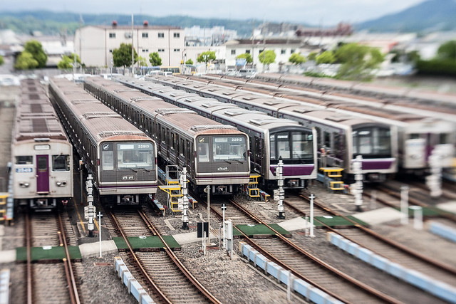
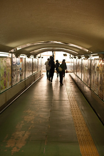
Yaominami Station is the terminus of the Tanimachi Line of the Osaka Subway. The Tanimachi line rail yard is located here. 

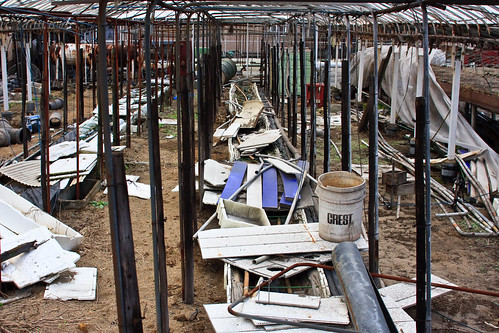
20120504-YaominamiStationArea-2
Tanimachi Line Rail Yard
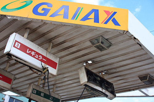
20120504-YaominamiStationArea-1
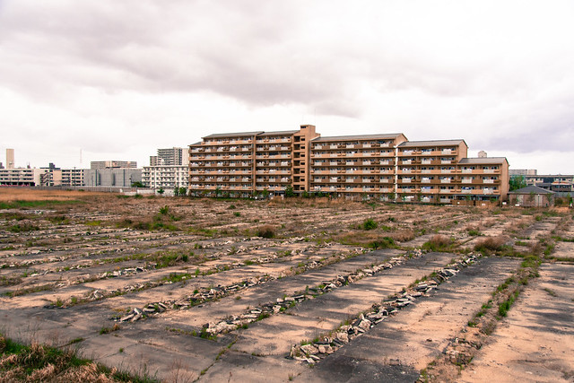
Empty Field and Apartment Building
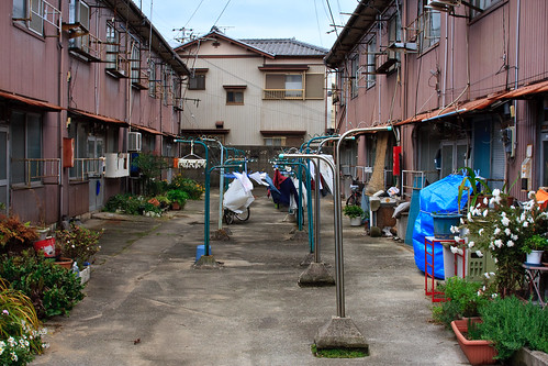
20120504-YaominamiStationArea-4
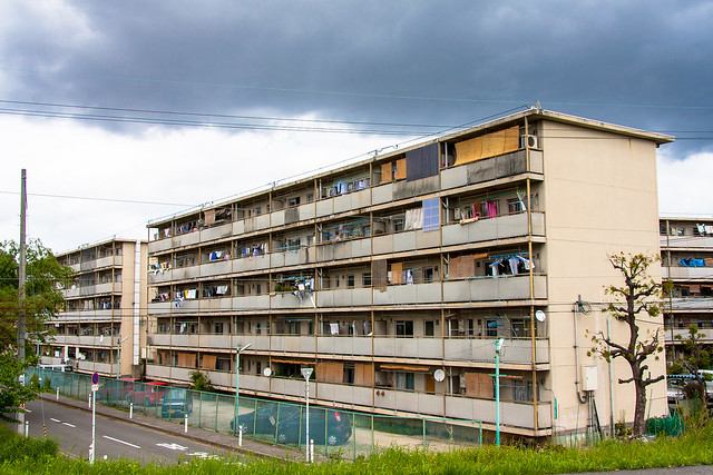
Public Housing Building, Yao
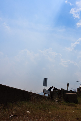
20120504-YaominamiStationArea-3
Drainage, Yao

Thursday, March 01, 2012

Yokkaichi City, Mie

02.25Yokkaichi-Mizushobaichi3.jpg
Behind A Ramen Shop - Yokkaichi, Mie
I recently got a Holux GPS logger to help make maps of my trips and geocode my photographs. Trying to do the latter led me to download and tryout the new Lightroom 4 beta. I've been using Lightroom since 1 and currently run 2.7. The improvements in 4 are wonderful, although the publishing to flickr is a bit confusing. Most likely I'll sick with Jeffrey Friedl's plugin. I'm extremely happy about the lens correction that gets rid of a lot of the warping and stretching that always annoyed me about my zoom lens. These three photos are a bit of a test for my new workflow.

02.25Yokkaichi-Mizushobaichi2.jpg
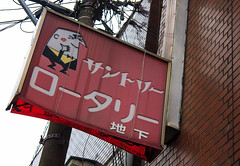
Tory's Gets a Kiss - Yokkaichi, Mie
I took a stroll down through the shotengai and nightlife district in front of Kintetesu Yokkaichi station last Saturday. The mizushobai district was quite large for the size of the town. There were some interesting snacks. The Suntory Tory's character making an appearance on a snack sign. while another nearby snack was called 酔人 "Drunk Person." There was also a pretty beat up looking x-rated movie theater down a little alley. All of this next to the city's children's park which had a really fun looking playground and rental riding toys. Gotta love spatial relativism.

02.25Yokkaichi-Mizushobaichi1.jpg
Ropponica Theater - Yokkaichi, Mie
This was my first time to explore a Mie, Pref. city since walking around rather rural Kameyama a few years back. I was surprised how modern and clean the most of Yokkaichi's ekimae was. With many new buildings and pedestrian walkways. The influence from Nagoya was noticeable here just as the lack of influence was when I arrived in Matsusaka later that day. I was surprised to see a Lalaport run mall, an Animate store, and Vedett-a white Belgium beer-being advertised by a modern looking bar all right there next to the station. However, this modern, clean Japanese landscape quickly faded into the shotengai and mizushobai streets to the east and the old neighborhoods to the west. Not to mention the very bubble-esque  Kintetsu department store that served as an anchor to the entire area.

Wednesday, January 25, 2012

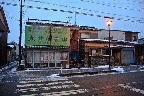
01.04 Toyama City Street

01.04toyamacitystreet-1 by sleepytako
01.04toyamacitystreet-1, a photo by sleepytako on Flickr.
Toyama city street near the near the Toyama Light Rail Higashiiwase station.
富山ライトレールの東岩瀬駅近い。

Sunday, January 01, 2012

Nara Park Photowalk

Nara Park is the general name given to the temples and parkland on the slope of Mt. Wakakusa east of the two Nara stations. The park includes many UNESCO World Heritage sites including Kofuku-ji and Todai-ji, the world's largest wooden building. It's also inhabited by many somewhat tame deer.

I went on a photo walk with two of my coworkers last month. This summer we'll be hosting a group of exchange students from New Zealand and we'll be taking them to the park on a day trip.

Here are some of my favorite photos from the walk.


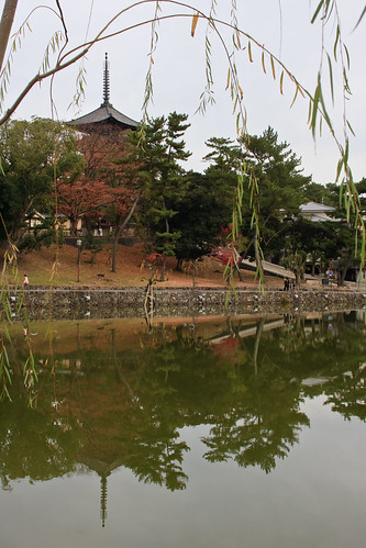
12.06NaraPark-4
This is one of the ponds throughout the park. It's probably the most seen an photographed because of its prominent location. The pagoda in the background is part of Kofuku-ji.
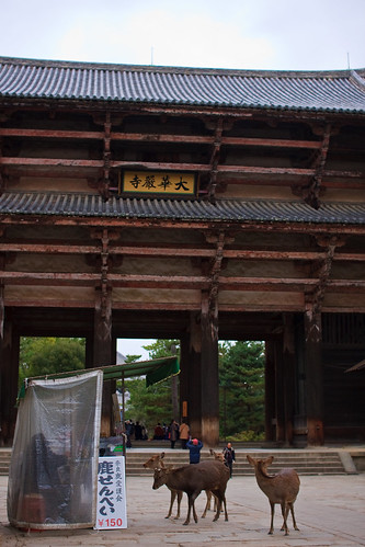
12.06NaraPark-14
Deer hanging out in front of a biscuit stand like teenagers in front of a Circle K trying to get an adult to buy them some beer.
12.06NaraPark-15
The wall around Todai-ji.
12.06NaraPark-20
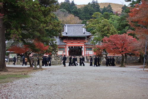
Nara park is very popular with school trips. On our walk we saw students from Aomori all the way in the north of Japan. There were also student tour groups from Australia, New Zealand and Indonesia in the park.
12.06NaraPark-21
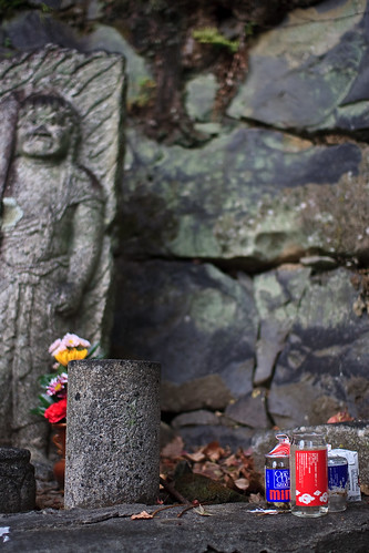
Alcohol, in this case sake, is a popular offering to deities or relatives. Cans, empty and full, are often scattered around temples and shrines often near statues.
12.06NaraPark-23
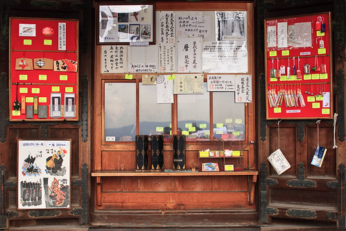
The temple shop in Nigetsudo.
12.06NaraPark-24
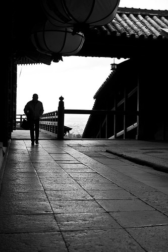
A lone man comes to pray at the temple. On cold winter days one can find some solitude in these temples, but when the summer comes around they will be much more crowded.
The rest of the photos I took on that day can be found in my Nara Park Photowalk set on flickr.

Monday, December 19, 2011

Monday, October 17, 2011

Wednesday, December 15, 2010

Hashimoto, Yawata, Kyoto

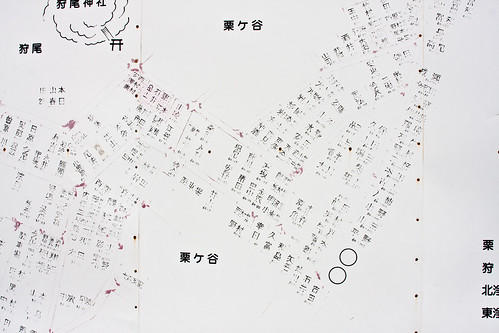
10.11Hashimoto-Yawata-4
Common in Japan is a neighborhood map such as this. The houses are identified with the resident's last name instead of a street address or house number.
Months ago, when it was still hot and sweaty out, I took a trip to ride the remainder of the Keihan lines that I had not been on at that time. After riding the Otokoyama Cable Car, Keihan's only cable car, I walked down the back of the mountain towards Hashimoto station on the Keihan Main Line. Otokoyama itself was quite interesting. There was a fine old shrine, a park, and a memorial to Thomas Alva Edison. The latter being something that I feel would warrant inclusion in the Japanese version of Roadside America.

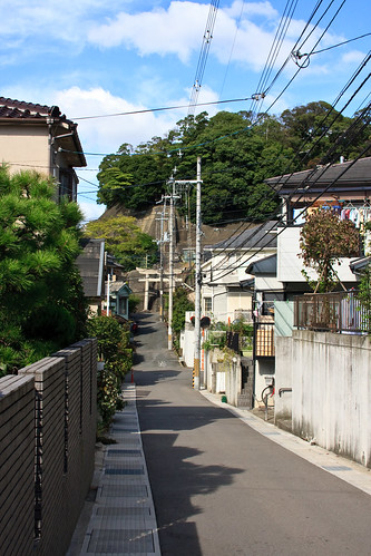
10.11Hashimoto-Yawata-2
The trees in the distance cover a small shrine on this steep street.
The hilly neighborhood of single family houses connected by steep narrow streets provided an interesting walk. I'm glad I don't walk up those streets coming home from work everyday however.

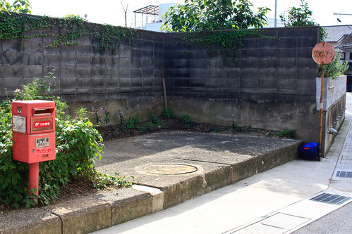
10.11Hashimoto-Yawata-3
I've learned how to judge the population of a neighborhood by the size of their mailboxes.

10.11Hashimoto-Yawata-5
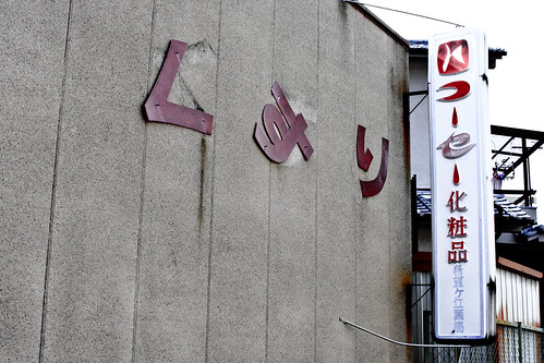
The ku and su of kusuri (medicine) are barely hanging on to the side this pharmacy in a small enclave of commercial buildings set among the houses.

Sunday, May 02, 2010

Above Osaka - Shigisan

At the end of the Nishi-Shigi cable car is Takayasusan station [高安山駅], a public toilet, one vending machine, a hiking trail and a bus station. Not much up there to see fit that a cable car should be built there. I hiked south along the trail eventually heading down the mountain back to Onji station.

Along the path I came across a sprawling cemetery complex. Many mountaintops have been covered with the stones we use to remember our ancestors here. The cost and scarcity of land for such a staid purpose in the city has created these giant cemetery complexes in the mountains. My father-in-law's resting place is in a similar cemetery in the mountains above Nishinoimiya.Besides the cemetery I came across three gloriously retro-due-to-age observation towers which offered similar views of Osaka below.

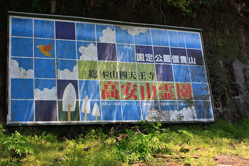
04.29YaoCity-2
A sign greeting visitors to the Takayasusan Cemetery.

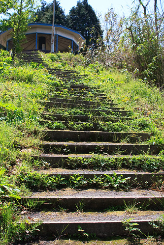
04.29YaoCity-3
Takayasusan station.

04.29YaoCity-4
Beginning of the hiking train leading south from Takayasusan station.

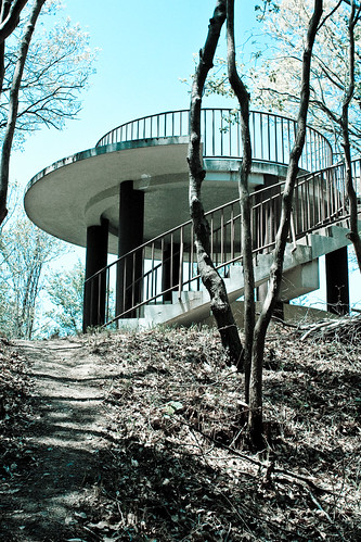
04.29YaoCity-5
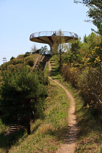
A viewing tower along the hiking path near Takayasusan Station.

04.29YaoCity-6
From this tower you can look across Osaka to the bay, or, on the other side, look upon a sea of gravestones.

04.29YaoCity-7

Monday, April 26, 2010

The Way To Seigantoji

03.31Seigantoji-5
Looking down towards the parking lots.

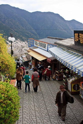
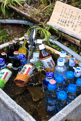
The walks leading up to popular temples are often dotted with souvenir shops and little stalls selling snacks. The stalls leading up to Seigantoji used the cool water flowing off the mountain to cool there drinks. Making them look much more appealing.

03.31Seigantoji-4
Cool drinks.

03.31Seigantoji-1
The water returning to the drainage canal.

Sunday, April 25, 2010

Ikomasan 生駒山

04.19IkomaSan-1
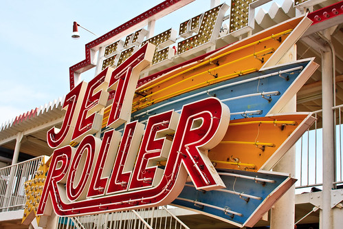
The Jet Roller wasn't closed, but no one was operating it either.

On the top of Mt. Ikoma forming the border between Nara and Osaka prefectures is a theme park. Accessible by car or the cable car line from the Kintetesu station far below. The theme park is spotted with the many bright white and red towers of Osaka's many radio and TV stations making a stark juxtaposition or just a testimonial to the multiple use ethic of Japanese developers. I went there on a crisp Monday morning last week. I found the park to be devoid of any guests and staff. Perhaps the most active things in the entire park were in the dog play area. A very rambunctious little black dog was attempting to mate with a larger, older golden one who gracefully ignored the offers.
04.19IkomaSan-3
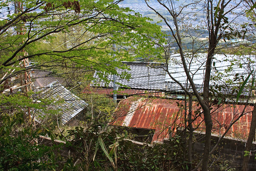
Tin roofs showing through the foliage on the path down the mountain.

Deciding to walk down the hill proved fun, yet brutal on my legs which still hurt a bit. That slope was steep. Still, it's under an hours walk down and it goes through some *interesting* streets, a beautiful temple and shrine and a great forest.


04.19IkomaSan-2
The cable car station on the top of the mountain.

04.19IkomaSan-4
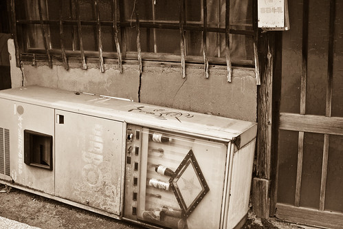
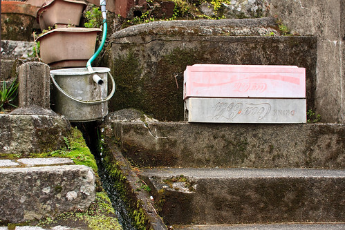
An ancient vending machine left to die slowly along the way.

Thursday, January 07, 2010

Ako Trip

Yuko and I spent a day down in Ako city which is in the far west of Hyogo pref. bordering Okayama pref.. We went all the way down there to buy some special Japanese sweets that Yuko wanted, and we'll get to them later, but we started the day by praying at a local shrine.

01.02-Ako-DayTrip-3

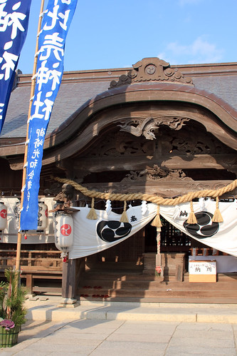
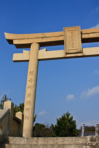
Iwatsuhime Shrine [伊和都比売神社] is located on a cliff looking out towards the Seto Inland Sea. The shrine was originally built on on the rocks but was moved in 1683 to its present location. Thanks to its location and history Iwatsuhime is a shrine that is popular with sailors and fishermen praying for a save voyage and a big catch.

01.02-Ako-DayTrip-401.02-Ako-DayTrip01.02-Ako-DayTrip-2

The detail in the animals carved into some of the temple was amazing. I'm not sure how old these are. You can see that they have aged, but they are still quite crisp. I believe these are the animals of the Chinese zodiac. Above is a boar, tiger (or dog I'm not sure), a type of bird (looks like a phoenix to me), and a dragon.

01.02-Ako-DayTrip-5

01.02-Ako-DayTrip-6
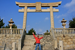
At the edge of the cliff is this giant torii gate.

01.02-Ako-DayTrip-7
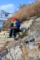
Yuko sitting on the stairs leading down the rocky cliff to the oceans edge.

From the shrine there is a concrete sidewalk that is parallel to the seashore. It's great little walk. I found this map [pdf] on the website of Ginpaso, a hot spring hotel, and used it to plan our walk.

01.02-Ako-DayTrip-8

Of course I didn't take any pictures of the sea. Well I did, but I deleted them because who needs pictures of the sea when there's stuff like this lying around! When I stopped walking Yuko thought I was going to take a photo of the sea, then she realized what I was looking at.

01.02-Ako-DayTrip-9

I guess this is a popular swimming and boating location in the summer. In the winter it feels like everything is closed. Makes for a good get away time, especially with just about every other place being crowded because of the New Year's holidays. Taking a walk in nature away from the hordes of people at the malls and shopping arcades was great. We saw what seemed like 1km long queue of cars stopped on the freeway waiting to get into the area's largest mall and outlet shops. No thank you.

01.02-Ako-DayTrip-10

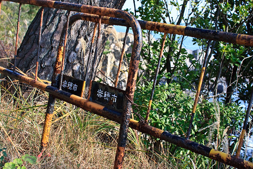
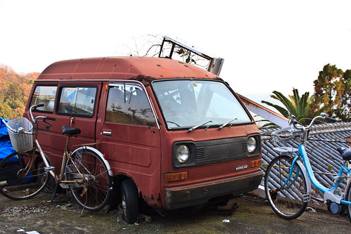
I walked by this abandoned car first without taking a photo, but Yuko looked at me and said, "Aren't you going to take a photo of that?" She knows me so well that she's calling out my shots now!

01.02-Ako-DayTrip-11

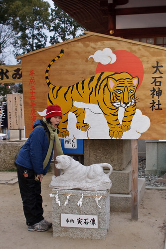
Here's Yuko in front of the Tiger decorations at Oishi Shrine [大石神社] near the site of the former Ako castle. Oishi shrine is connected to the Story of the 47 Ronin [赤穂義士] which has been made into many films and TV dramas in Japan a common part of Japanese folklore told abroad, although it seems the story is more popular in Kansai than in other regions. Looks like a must see spot if you're interested in the story.

After checking out the shrine we headed to Kanpo no Yado - Ako [かんぽの宿 赤穂]--which will be added to I Love ゆ once it gets finished--for a quick bath and then back home. But we had to stop at one more place. In my next post I'll show what we came all the way down here to buy. Probably the most insanely good Japanese sweet I've ever had, and one that is totally worth the drive to get.