Monday, October 08, 2012

Sefuku-ji 施福寺 - #4

20121001-Sefukuji-5
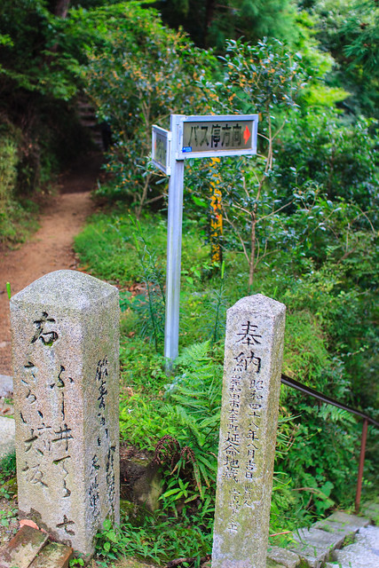
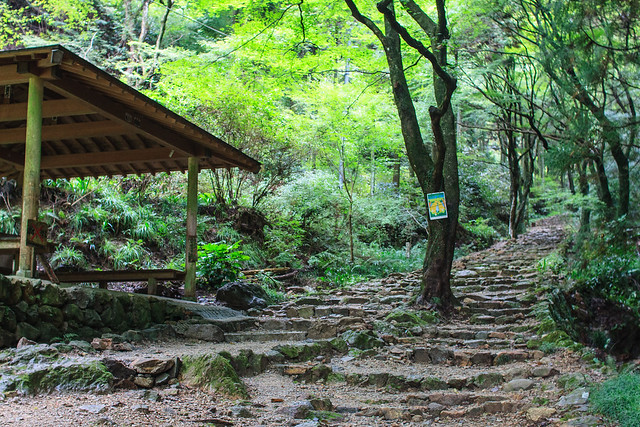
The start of the trail
Place Name: Sefuku-ji 施福寺
Type: Temple 寺
Location: Izumi city, Osaka Prefecture, JAPAN
Latitude: 34.392908
Longitude: 135.511578
Date of Visit: October 1, 2012
Access:
Izumi city Orange Bus Makiosan route (槇尾山) from Nankai Izumiotsu station on the Nankai Main Line or Izumichuo station on the Senboku Line. 
Fee: None
Hours: 
March through November: 8:00~17:00
December through February: 8:00~16:00 
Web: None


The road to Sefuku-ji goes from the crammed residential areas to rural mountainside quite quickly. Soon the road turns into a single track with a stream on one side and a forested slope on the other. It felt like driving through a national park back in the USA. A single free parking lot is at the end with a hand full of buildings.

At the start of the walk I thought it was just going to be a few minutes, but then the concrete slope got steeper. Then it got even steeper. After passing a few impromptu miniature waterfalls thanks to the typhoon that passed over the area the day before and one perennial waterfall made by the stream paralleling the trail we reached a gate and a sign. The sign read it would take 30 minutes to reach the temple from here. I was excited for a good hike through this forest.
20121001-Sefukuji-6
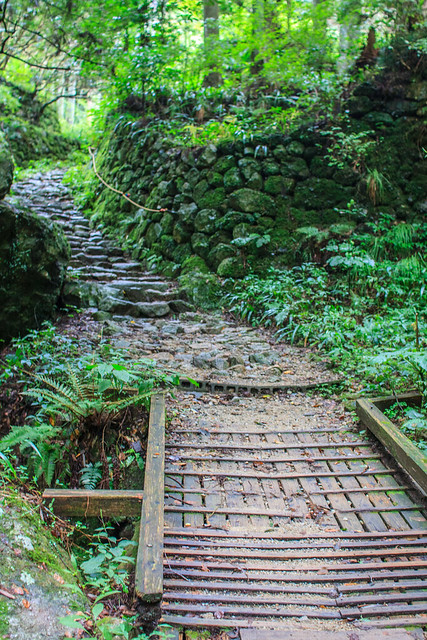
Soon after passing through the gate we stumbled upon a snake on the trail. A bit further up we encountered a wooden bridge over the stream. Yuko was nervous that it would support her let alone me with our daughter, Mia, on my back. By then the path turns to dirt and stone broken up with stone stairs. Along the path short stone monoliths are placed in the ground with a number and the kanji 丁 carved into them. There are 6 that I noticed with #6 in front of the temple gate at the bottom of the trail. By the time you get to #2 the route is predominately stairs. We met a woman on the way up. She hikes up to the temple everyday to loose weight. I wish I had her fortitude. Overall, the hike up is not too hard and we completed it well within the 30 minute estimate on the sign below. Going down is a breeze.

20121001-Sefukuji-12
More stairs!
At the top the temple sits on the Osaka bay side of a flat area. A small yard has a collection of random benches and tables, a public restroom, a small udon shop and a few statues. The view looking east towards Nara prefecture is of absolute untouched wilderness. The only man made thing in view is a mine at the bottom of the valley that you have to strain to get a good look at.

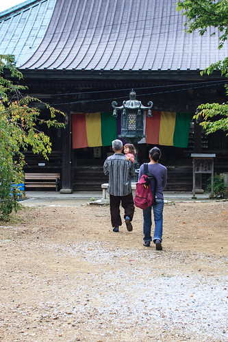
Right as we got to the temple an older man in casual clothes asked us if we came to get our scroll signed. We said yes and he told us to wait a second with a great big smile. We sat down and took the now awake Mia out of the backpack. The man, who turned out the be the obosan, quickly came back. Before I noticed he had picked up Mia, started carrying her around the temple and playing with her. Mia typically is good with strangers, but she does not let everyone pick her up like that. She must have sensed that he was a good guy. We have met many interesting and helpful obosan on our route, but none of them have been as cheerful as he was.
20121001-Sefukuji-14
Mia's new friend
The temple was simple with a roof that seemed unlike any other I have seen. There was no incense burning so we bought a few sticks for the three of us and lit them. The fresh nature smell was great on that day thanks to the storm that had just passed by and the incense intensified it.

Yuko commented that going to temples clears her head, and I totally agree. The nature and the calmness up on the top of that mountain was a great refresher--a detox for the mind. 

We did not stay long as it was getting dark and we had to hike back down the hill. Only a few minutes into the walk back we found some blood on the stone and a pair of bent eye glasses. Someone must had tripped. We checked the area to see if someone had slipped down the hill, picked up the glasses and rushed down to the shop. On the way we met a woman hiking up but she did not see anyone injured coming down. Getting down to the small shop we found out that a man from Nagoya had hurt himself. An ambulance had picked him up, but he did not appear very hurt to the people in the shop. After taping the glasses to the only car with Nagoya plates in the parking lot we headed to a super-sento in nearby Tondabayashi to end the day's adventure.

20121001-Sefukuji-17
Some of the benches and the view towards Nara
20121001-Sefukuji-16
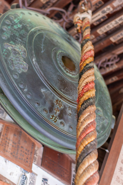
The temple bell
20121001-Sefukuji-18
The way back
20121001-Sefukuji-11
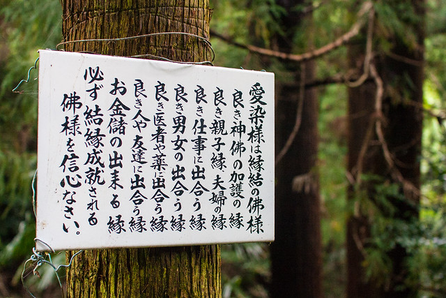
Praying at Seifuku-ji covers all the bases: good children, good spousal relationships, good job, good health, good friends, and lots of money.
20121001-Sefukuji-2
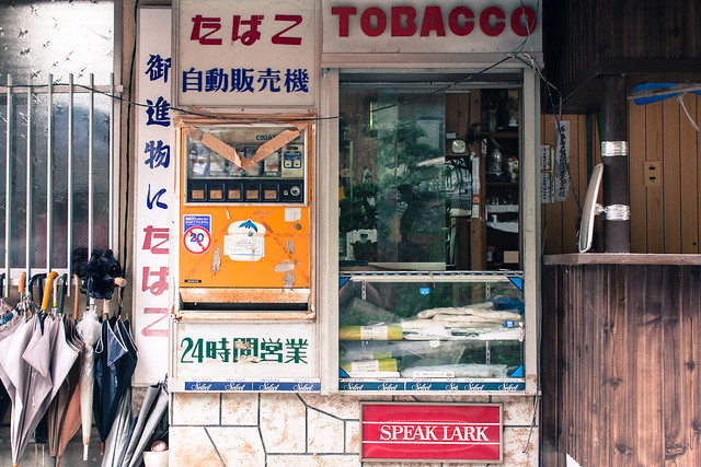
One of the stores by the parking lot
20121001-Sefukuji-120121001-Sefukuji-220121001-Sefukuji-320121001-Sefukuji-420121001-Sefukuji-520121001-Sefukuji-6
20121001-Sefukuji-720121001-Sefukuji-820121001-Sefukuji-920121001-Sefukuji-1020121001-Sefukuji-1120121001-Sefukuji-12
20121001-Sefukuji-1320121001-Sefukuji-1420121001-Sefukuji-1520121001-Sefukuji-1620121001-Sefukuji-1720121001-Sefukuji-18
20121001-Sefukuji-1920121001-Sefukuji-2020121001-Sefukuji-21

#4 Sefuku-ji 施福寺, a set on Flickr.


大きな地図で見る
Monday, September 24, 2012

Hiroshima Electric Railway (Hiroden) - 広島電鉄 (広電)

Hiroshima Electric Railway (Hiroden) -  広島電鉄 (広電)


20120828-Hiroden-3

Place Name: Hiroshima Electric Railway (Hiroden) - 広島電鉄 (広電)
Type: Railway 鉄道
Location: Hiroshima City, Hiroshima Prefecture, Chukoku Region, JAPAN
Distance: 35km
Number of Stations: 83
Homepage: http://www.hiroden.co.jp/en/


20120828-Hiroden-5
Shiyakusho-mae Station [市役所前駅]


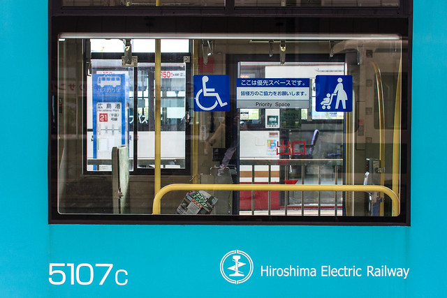
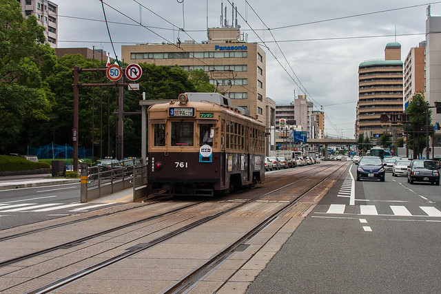
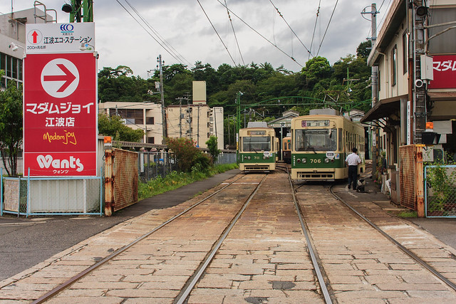
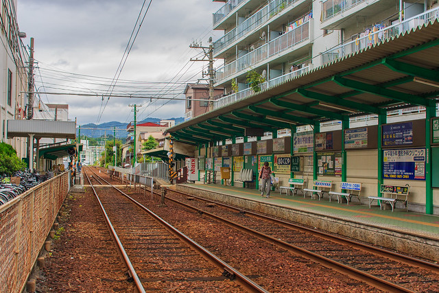
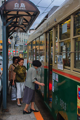
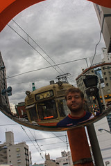
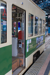
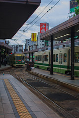
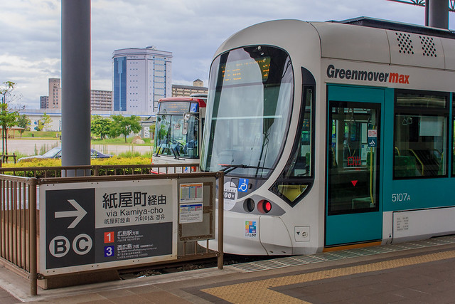
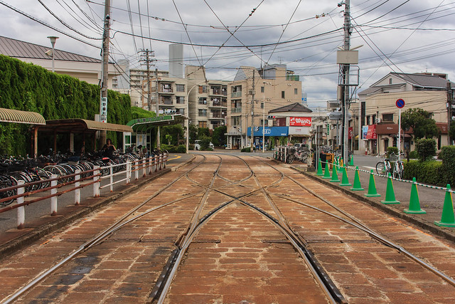
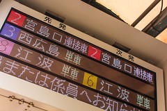
Hiroshima Electric Railway, or Hiroden [広電] as the locals call it, is Japan’s largest and most used streetcar system. There are eight routes on seven lines using a total of 35km of track. 18.9km of Hiroden’s track lies in the middle of the road with the normal traffic. This section of the track is called the “inner city lines” [市内線]. The remaining 16.1km from Hiroden Nishi-Hiroshima Station [広電西広島] to Hiroden Miyajimaguchi Station [広電宮島口] is called the Miyajima Line [宮島線]. It runs free from traffic on its own right of way. Leaving Hiroshima Station, one can ride all the way to Miyajimaguchi without changing trains passing a total of 40 stations and taking just over an hour. This is the red #2 line. The newest and largest trains run this line.


20120828-Hiroden-8
Eba Station [江波駅]

The company also owns a hotel in the city, operates city bus lines, and holds stock in other transportation companies including the Miyajima Matsudai ferry. Hiroshima is one of Japan’s most visited locals outside of Tokyo and Hiroden competes with JR for foreign tourists to the city and Miyajima. They offer a two day one night tourist package that includes the streetcars, ferry, Miyajima Ropeway, hotel stay with some meals for $130 which is not a bad idea if you plan on visiting.

20120828-Hiroden-11
Rakurakuen Station [楽々園駅]


Hiroden has purchased and maintains old train cars from other city’s streetcar operators. Some of which are now defunct. Cars from Tokyo, Kobe, Osaka, and Hanover, Germany are still in operation on Hiroden’s inner city lines. Two very special cars that survived the atomic bomb blast in 1945 also still run on the lines.

20120828-Hiroden-1520120828-Hiroden-1420120828-Hiroden-13


The beginnings of the Hiroshima street car began 100 years ago thanks to a plan to reclaim the land once used by the moats around Hiroshima castle. As the city grew and modernized through the Taisha era more lines and routes were planned. Ten years after it’s foundation in 1922 the Miyajima Line was opened. 
20120828-Hiroden-9
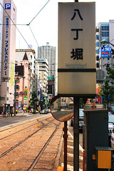
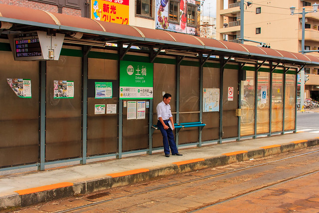
Dobashi Station [土橋駅]

As the Pacific War became the Second World War more and more stresses were put upon the railway. Soon most of the able bodied men working as drivers and conductors were conscripted into military service. Women were soon trained to take the men’s places on the trains and busses. Under orders from the government a new line was made to the port to support the military.

The atomic bomb was dropped on Hiroshima on August 6th, 1945. 185 students and teachers Hiroden’s girls school perished and 266 others were injured. Of the 123 cars in operation at the time 108 were destroyed. Despite the massive losses in infrastructure, one section of the line was running only 3 days after the bombing.

By 1947 most of the lines were restored to service. Into the 1950s Hiroden modernized the rolling stock and the readjusted of the lines to match the postwar reconstruction of the city. In the late 50’s the Miyajima ferry and ropeway begun operation. Hiroden then expanded into highway buses and land development through the 80s. 1997 brought about new trains as urban transit was undergoing a global resurgence. From the 90’s to today Hiroden has been rebuilding, modernizing stations, and improving accessibility where possible.

20120828-Hiroden-220120828-Hiroden-620120828-Hiroden-17

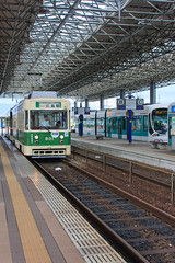
I found the lines to be a pleasure to ride. The terminal stations, especially Hiroshima Port Station [広島湾], are well designed and each is unique. The difference in ride among the many types of trains was enjoyable especially for fan like myself. While modern in parts, there are many old and retro sections of the track. The section between Dobashi [土橋] and Hiroden Nishi-Hiroshima [広電西広島] in particular.

20120828-Hiroden-4
Hiroshima Port Station [広島湾]
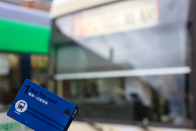
On the inner city lines, with the exception of the Hakushima Line, a flat rate fare of ¥150 is charged upon exiting the train. The Hakushima Line is only ¥100 per ride. Transfer tickets are available. From Nishi-Hiroshima to Miyajima-guchi a fare based on distance is charged and boarding slips are available on the train or from machines at the station. For those who live in the city there is an IC card called PASPY that also can be used on some busses and JR West trains. For tourists there are two one-day passes. The first covers all the trains for ¥600 and second covers trains and the Miyajima ferry for ¥840. A two-day pass for ¥2,000 offers trains, ferry and ropeway access. Remember to run the card through the reader when you get on and when you get off the train. 

(Most of the information about the history of the company was taken from the history on Hiroden’s own website commemorating their 100th anniversary.)

20120828-Hiroden-16
The one day trip card

EveryTrail - Find the best hikes in California and beyond

20120828-Hiroden-7


20120828-Hiroden-120120828-Hiroden-10

Thursday, September 06, 2012

Inbi Line - 因美線

20120817-InbiLine-10
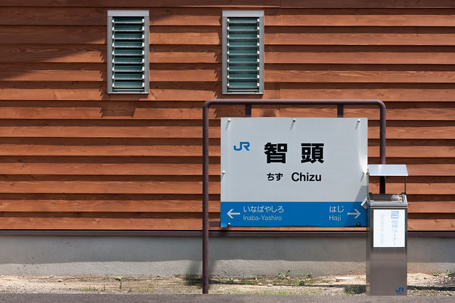
Looking back to Tottori from Chizu station
JR West Inbi Line - JR西日本因美線

Place Name: JR West Inbi Line - JR西日本因美線
Type: Railway Line 列車線
Location: Tottori and Okayama Prefectures, Chukoku Region, JAPAN
Terminals: Tottori Station, Tsuyama Station
Distance: 70.8km
Number of Stations: 19


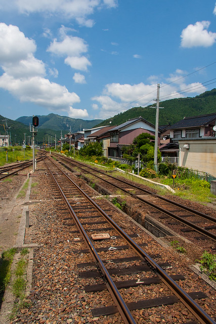
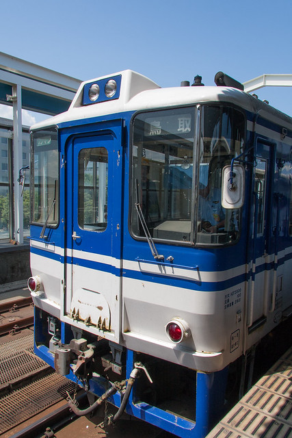
The Inbi line cuts through the mountains that divide the Japan Sea and Pacific Ocean sides of Japan. Inbi [因美] is derived from Inaba [幡] and Mimasaka [作] the traditional names of the areas centered around the current cities of Tottori [鳥取市] and Tsuyama [津山市] respectively. The entire line not electrified and diesel trains run on it. It is only serviced once every 1~2 hours for is busier section, and even less often on the more rural section.

20120817-InbiLine-1
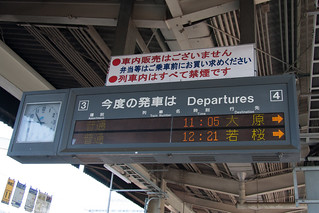
Trains leaving for Ohara and Wakasa from Tottori Station
The line is divided into two sections at Chizu station [智頭駅] and no local train runs directly between the two terminals. From Chizu the semi-public Chizu Express Railway* cuts off from the line and provides a quicker route two the Sanyo Main Line. A second local private line the Wakasa Railway spurs off from the Inbi Line at Koge Station [郡家駅]. Depending on the time, train cars from these two companies leave Tottori station and head directly to Wakasa Station [若桜駅] or Ohara Station [大原駅] on the Chizu Express Line. Although the train does not change the crew does at Koge or Chizu station. Riding a JR West line in a non-JR West train is one unusual aspect of the Inbi Line. 

20120817-InbiLine-2
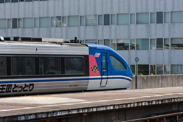
The Chizu Express HOT7000
Two express trains run on the Tottori~Chizu section before switching to the Chizu Express. The Super Hakuto runs between Kyoto/Osaka/Kobe to Tottori and further on to Kurayoshi, a popular onsen. The HOT7000 trains appear to be modified versions of the common trains that run in the urban area of Kansai, but are actually based on a JR Shikoku model. The second express train to run on the line heads the opposite way to Okayama. These trains are much smaller and only two cars long. The HOT7000 is a Chizu Express train, while the Keha187 that is used for the Super Inaba is a JR West train. In both situations at Chizu and Kamigori the train staff will change.

20120817-InbiLine-3
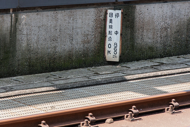
The 0km marker for the Inbi line at Tottori station
Leaving from Tottori the train serves the city's suburbs and students. The train becomes much less crowded after Koge station. After Koge station the landscape becomes increasingly rural until Chizu. After Chizu the train goes through the last of the agricultural area and quickly enters the mountains. Due to a high preponderance of falling rocks the speed limit at some mountainous and steep portions of the line is 25km/h and slows down to a crawling 15km/h during heavy rainfall.

20120817-InbiLine-12
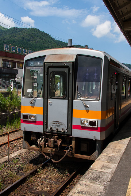
A JR Wext KiHa120 at Chizu station
Riding the Chizu~Tsuyama portion of the line is not the easiest thing to plan as only one train goes through every 4 hours. This is also the most beautiful portion of the line as it goes through the roughest terrain. When the train finally comes out of the mountains and into the plain around Tsuyama city the view of the mountains behind is quite stunning. 
20120817-InbiLine-4
A Chizu Express HOT3500 at Tottori station


*Travel Notes*

Tottori Station:

Tottori station is a full service station with tourist information, various convenience stores, an excellent selection of ekiben, omiyage shops, and a drug store. There is a 100 yen shop a 5 minute walk from the station and two superb sento within a 10 minute walk. Both sento open early. English language newspapers are available from the smaller Kiosk next to the gates.

20120817-InbiLine-820120817-InbiLine-720120817-InbiLine-6
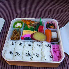
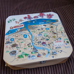
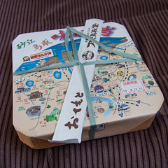
I have had three of the ekiben from Tottori station and can recommend them all. The Tottori no Izakaya [鳥取居酒屋], the self heating Tottori Beef Bento [鳥取牛弁当], or the Sakyu Tottori Aji no Bento [砂丘鳥取味の弁当] are all wonderful. The most popular bentos are most likely those with crab, another local specialty. 


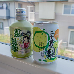
On this trip I had the Sakyu Tottori Aji no Bento. I was surprised about how good the rice was. The pickles, sweet potato, and mushroom were also great. I wasn't sure what the white stuff was in the corner. I also got two pear flavored drinks. Pears [梨:なし] are Tottori's best known product. The normal juice in the half sized can had bits of pulp and was not too sweet. The pear soda in the twist top can was a bit to sweet for me. A local pear chu-hi is also for sale at the station and recommended.
20120817-InbiLine-5

If you're looking for a place to stay in Tottori there are a ton of business hotels by the station for ¥5,000 and up. I stayed at Matsuyaso [松屋荘] a very nice Japanese style hotel for ¥3,500 a night for a room with shared bath and toilet. I liked it so much, reviewed it on Tripadvisor.

20120817-InbiLine-9
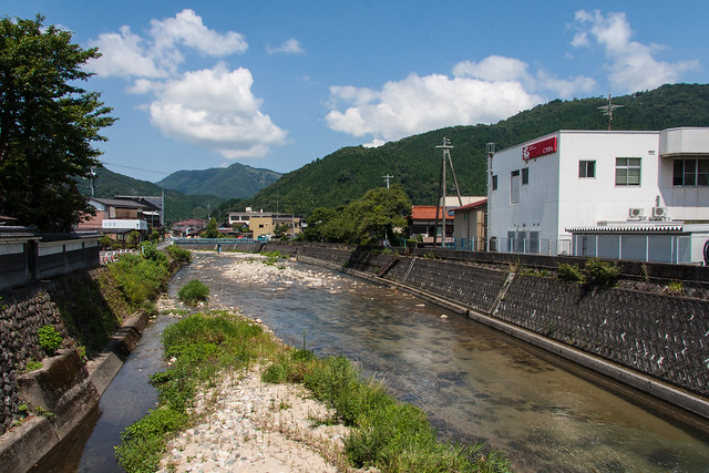
The river near Chizu station
Chizu Station:

You'll most likely have to spend sometime waiting here for your next train. While there is not much to see or do near the station there is ample shopping. Straight in front of the station is the local tourist information and locally produced goods shop which sells many beautiful wooden products. I found a cute handmade hairband for my daughter for ¥100.

Next to the tourist information is a luxury Ikari supermarket. There is a nice selection of imported chips and snacks for the train ride, but expect higher than normal prices. Behind the Ikari is a normal supermarket with more reasonable prices. They also had Tottori pears for sale much cheaper than the ones I bought at Tottori station, as I didn't get one I cannot comment to the quality.

A coin laundry and a small independent liquor shop are also with in a minutes walk from the station. If you head straight out of the station past the tourist information there is a bridge over a beautiful river. Across that bridge is a street of old style Japanese houses.

20120817-InbiLine-13
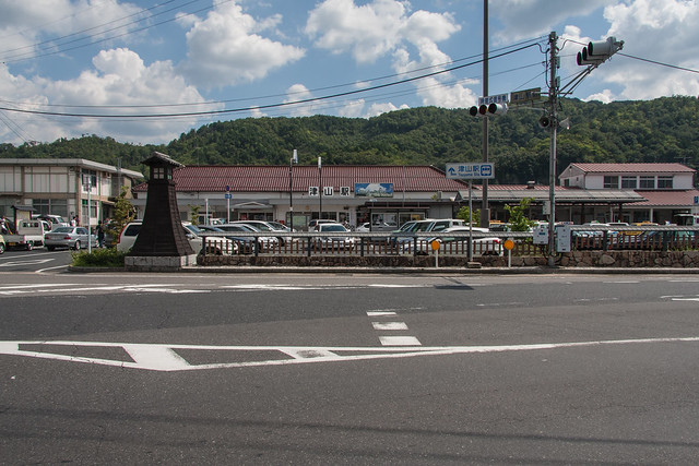
Tsuyama station
Tsuyama Station:

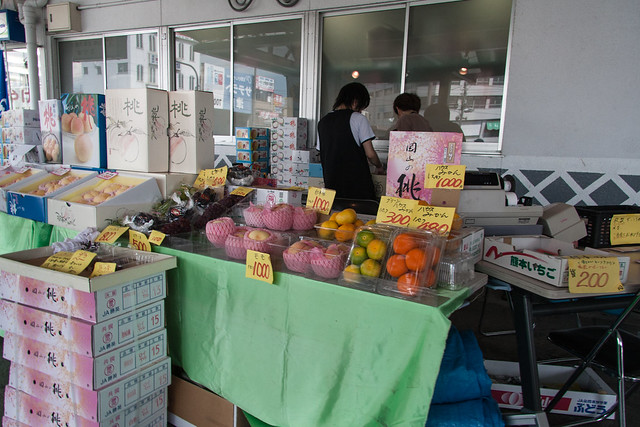
Tsuyama Station is south of the city center and is lacking in things to do or see because of that. The station convince store is adequate and there was a small fruit stand set up in front of the station the day I was there. With in a minute of the station is a chain restaurant plus a few cafes and yakiniku places. In the city there is a bigger shopping mall and castle ruins, but I have never been to either.
20120817-InbiLine-14
Okayama peaches and grapes being sold in front of Tsuyama station
*Please be aware that Chizu Express Railway is not a part of JR West and therefore not covered by the Seishun 18 Kippu. For the Chizu Express a separate one day pass is available, or you will have to buy a normal ticket. The same is true for the Wakasa Railway. More information on this here

EveryTrail - Find the best hikes in California and beyond

  20120817-InbiLine-11

Wednesday, August 29, 2012

The Northern Tip of Hyogo: Nekozaki

20120816-Takeno-Nekozaki-10
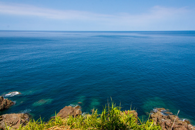
Looking out to the Sea of Japan at the northernmost point of Hyogo - Nekozaki
Place Name: Nekozaki - 猫崎
Type: Hiking Course / Northernmost point of Hyogo - ハイキングコース / 兵庫県北端
Location: Toyooka city, Hyogo, JAPAN
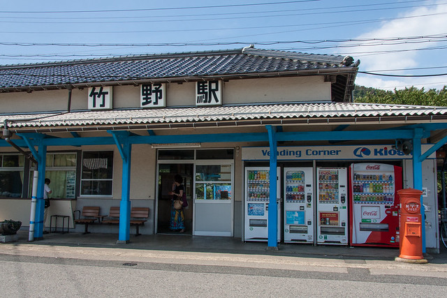
Starting Location: Takeno Station 竹野駅
Latitude: 35.649967
Longitude: 134.756522
Ending Location: Nekozaki lighthouse 猫崎灯台
Latitude: 35.674444
Longitude: 134.764167
Date of Visit: August 16, 2012
Access: JR West San'in Main Line
Web: Takeno Tourist Information [Japanese] http://www.takeno-kanko.com/

20120816-Takeno-Nekozaki-2
Takeno Station
The Japanese Wikipedia entry for Hyogo prefecture lists it’s geographical extremities. Of the four the northernmost point seemed to be a nice hike near a beach with an onsen and would make a good day trip to do with the Seishun 18 Kippu.
The Kansai and Chugoku regions can be divided down the middle into a northern and southern half. Sanyo, the southern half, borders the Seto Inland Sea and the Pacific Ocean beyond that. San’in, the northern half, is the more rural Sea of Japan side. Few roads and rail lines connect between the two sides so traveling between the two takes time and often goes through some spectacular scenery. One of my favorite words in Japanese is “陰陽連絡路線” meaning a road that connects San’in to Sanyo. I took the quickest route riding the Fukuchiyama and San’in Main line. My trip started at Osaka station at 5:55. After two train changes in Fukuchiyama and Toyooka, I arrived at Takeno station at 10:20.


20120816-Takeno-Nekozaki-3
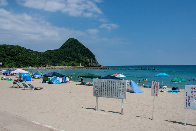
Takeno Beach
The walk from the station to the beach goes through some typical countryside into a nice older section of town and ends up along the beach. Little cafes, small minshuku, and shops selling beach goods lined the streets while the beach was littered with tented beach huts offering a place to sit out of the sun, hot showers, food and booze. It was hot on this August day and I was soaking in sweat even before starting the hike. The extra strength super sweat-proof sunscreen didn’t save my skin from getting burned. The humidity was high but not too bad. It was sweaty hiking weather, but nothing too hard and nothing I couldn’t handle I thought. Then I saw the hill.

20120816-Takeno-Nekozaki-5
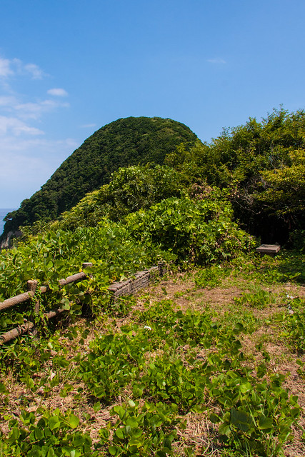
The start of the trail with the hill in the background
20120816-Takeno-Nekozaki-7
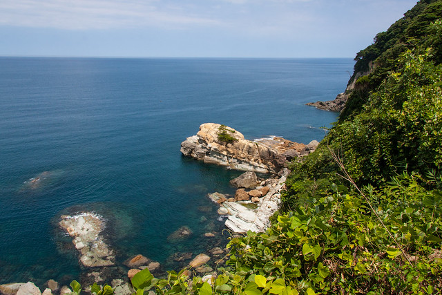
Some of the beautiful scenery from the trail


Coming straight off the ocean, it looks pretty tall. I thought the trail would cut around the side. No way I’d have to hike to the top of that hill. I was wrong. I also thought the trail would be rough, but not that rough. The signs warning me of dangers ahead seemed placed there for some bureaucratic requirement and not because of any real danger. 
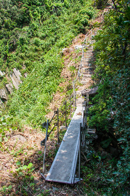
The trail wasn’t that dangerous really, but it was surprisingly hard. First, the humidity. In that forest the air just gets heavy with water making breathing difficult. Second, the bugs. I’m not a fan of bugs and the trail was just crawling with them. Cicadas were flailing around as I approached. Countless spiderwebs were destroyed by my face. Third, the footing. Various parts of the trail are covered in slippery loose soil. I took a fall once and lost my footing a few times. This was the first hike where I thought that I would actually like to get some of those dorky looking ski poles. Forth, the climbing. Getting up and down those slopes sometimes required holding on to a less then secure feeling rope. It was pretty close to scrambling getting up some of those cliffs. The last decent to the lighthouse was the steepest and most difficult.

20120816-Takeno-Nekozaki-9
The bridge on the trail
20120816-Takeno-Nekozaki-13
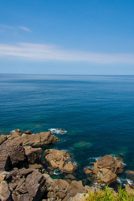
The ocean


The payoff and the view from the lighthouse makes the hike worth it however. The trail itself is dark and doesn’t offer much to look as the forest is just that dense with vegetation. The few spots where the forest opens up does offer some amazing views of the ocean. At the end, however, is the real good view. In the summer on a good day, like when I went, the ocean is a inviting blue color. So peaceful and cool looking. I considered climbing down but since I was there by myself I thought it would best if I didn’t. 
It was a very secluded point. A lighthouse is at the end and there’s a concrete area around it thats big enough to sit down on and relax. The only things around me were a massive group of dragonflies, some other gross bugs that would run out of the plants onto the concrete, and a grandpa down on the rocks fishing. I had no clue how that guy got out there. I didn’t see a boat or float and there was no real trail to get there from where I was. I bet I could scramble my way there, but it would be dangerous and downright impossible with all that fishing equipment he had. I guess he was dropped off by a boat. It looked fun to be out there alone. I don’t think he ever noticed me either. 
I didn’t look forward to hiking back, but the beach was there and getting into the ocean and washing off the sweat kept me going. At the beach I changed in park and used a drinking fountain to give my sweat soaked clothing a quick wash. I left my wet clothing on the concrete pier to dry in the sun as I swam in the somewhat crowded ocean. Still, getting in the water after such a tough hike was the best.

20120816-Takeno-Nekozaki-14
Looking back at the hill


After swimming I headed to the onsen next the beach. Kitamekan, a building with a restaurant, omiyage shops, rest areas, and rental kayaks, has a real onsen on the second floor called Tanjyo no Yu. It’s 500 yen for a few baths with a decent onsen and a small sauna. Cheaper than the hot showers you can get on the beach. You can’t go in straight from the beach soaking with saltwater and all sandy however. I just made myself as presentable as possible at the water fountain and it was ok. The hike and the beach itself are highly recommended. I am already looking forward to going back next year just to hang out on the beach.


The Northern Tip of Hyogo: Nekosaki at EveryTrail
EveryTrail - Find the best hikes in California and beyond


More pictures from the trip HERE.