 |
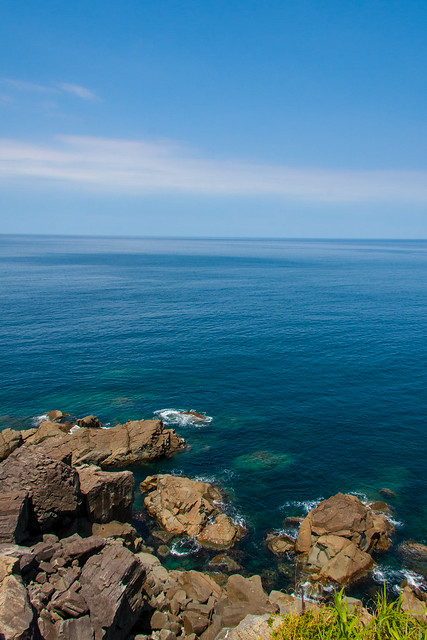
| Looking out to the Sea of Japan at the northernmost point of Hyogo - Nekozaki |
Type: Hiking Course / Northernmost point of Hyogo - ハイキングコース / 兵庫県北端
Location: Toyooka city, Hyogo, JAPAN
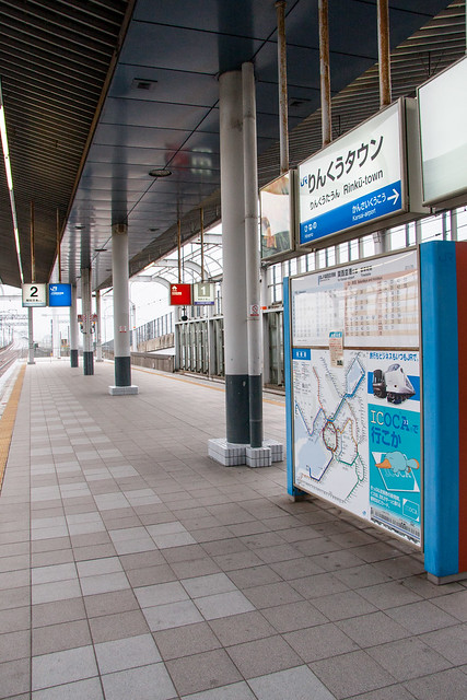
Starting Location: Takeno Station 竹野駅
Latitude: 35.649967
Longitude: 134.756522
Ending Location: Nekozaki lighthouse 猫崎灯台
Latitude: 35.674444
Longitude: 134.764167
Date of Visit: August 16, 2012
Access: JR West San'in Main Line
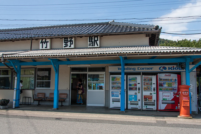 |
| Takeno Station |
The Kansai and Chugoku regions can be divided down the middle into a northern and southern half. Sanyo, the southern half, borders the Seto Inland Sea and the Pacific Ocean beyond that. San’in, the northern half, is the more rural Sea of Japan side. Few roads and rail lines connect between the two sides so traveling between the two takes time and often goes through some spectacular scenery. One of my favorite words in Japanese is “陰陽連絡路線” meaning a road that connects San’in to Sanyo. I took the quickest route riding the Fukuchiyama and San’in Main line. My trip started at Osaka station at 5:55. After two train changes in Fukuchiyama and Toyooka, I arrived at Takeno station at 10:20.
苦楽園口5:15発、竹野10:20着! twitter.com/sleepytako/sta…
— David (@sleepytako) August 16, 2012
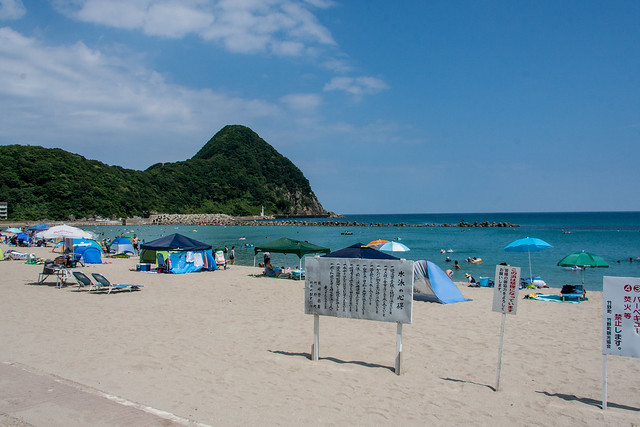 |
| Takeno Beach |
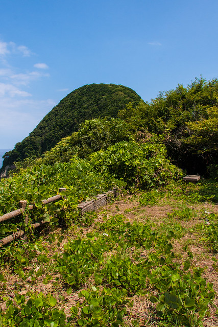 |
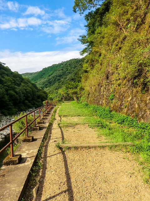
| The start of the trail with the hill in the background |
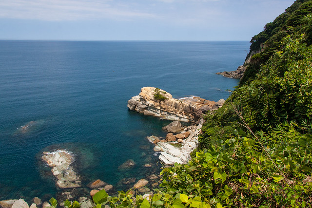 |
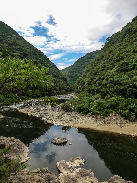
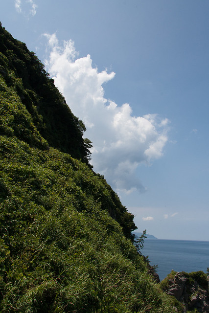
| Some of the beautiful scenery from the trail |
Coming straight off the ocean, it looks pretty tall. I thought the trail would cut around the side. No way I’d have to hike to the top of that hill. I was wrong. I also thought the trail would be rough, but not that rough. The signs warning me of dangers ahead seemed placed there for some bureaucratic requirement and not because of any real danger.
The trail wasn’t that dangerous really, but it was surprisingly hard. First, the humidity. In that forest the air just gets heavy with water making breathing difficult. Second, the bugs. I’m not a fan of bugs and the trail was just crawling with them. Cicadas were flailing around as I approached. Countless spiderwebs were destroyed by my face. Third, the footing. Various parts of the trail are covered in slippery loose soil. I took a fall once and lost my footing a few times. This was the first hike where I thought that I would actually like to get some of those dorky looking ski poles. Forth, the climbing. Getting up and down those slopes sometimes required holding on to a less then secure feeling rope. It was pretty close to scrambling getting up some of those cliffs. The last decent to the lighthouse was the steepest and most difficult.
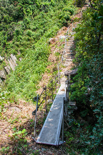 |
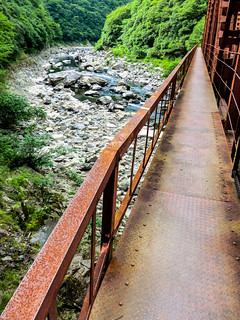
| The bridge on the trail |
 |
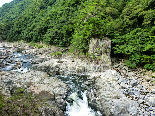
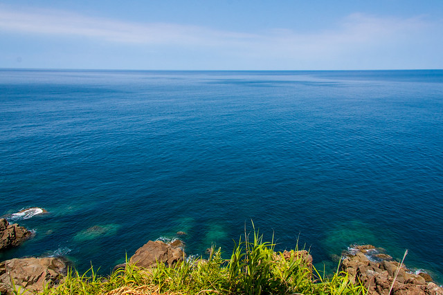
| The ocean |
The payoff and the view from the lighthouse makes the hike worth it however. The trail itself is dark and doesn’t offer much to look as the forest is just that dense with vegetation. The few spots where the forest opens up does offer some amazing views of the ocean. At the end, however, is the real good view. In the summer on a good day, like when I went, the ocean is a inviting blue color. So peaceful and cool looking. I considered climbing down but since I was there by myself I thought it would best if I didn’t.
It was a very secluded point. A lighthouse is at the end and there’s a concrete area around it thats big enough to sit down on and relax. The only things around me were a massive group of dragonflies, some other gross bugs that would run out of the plants onto the concrete, and a grandpa down on the rocks fishing. I had no clue how that guy got out there. I didn’t see a boat or float and there was no real trail to get there from where I was. I bet I could scramble my way there, but it would be dangerous and downright impossible with all that fishing equipment he had. I guess he was dropped off by a boat. It looked fun to be out there alone. I don’t think he ever noticed me either.
I didn’t look forward to hiking back, but the beach was there and getting into the ocean and washing off the sweat kept me going. At the beach I changed in park and used a drinking fountain to give my sweat soaked clothing a quick wash. I left my wet clothing on the concrete pier to dry in the sun as I swam in the somewhat crowded ocean. Still, getting in the water after such a tough hike was the best.
 |
| Looking back at the hill |
After swimming I headed to the onsen next the beach. Kitamekan, a building with a restaurant, omiyage shops, rest areas, and rental kayaks, has a real onsen on the second floor called Tanjyo no Yu. It’s 500 yen for a few baths with a decent onsen and a small sauna. Cheaper than the hot showers you can get on the beach. You can’t go in straight from the beach soaking with saltwater and all sandy however. I just made myself as presentable as possible at the water fountain and it was ok. The hike and the beach itself are highly recommended. I am already looking forward to going back next year just to hang out on the beach.
竹野ビーチなう。 twitter.com/sleepytako/sta…The Northern Tip of Hyogo: Nekosaki at EveryTrail
— David (@sleepytako) August 16, 2012
EveryTrail - Find the best hikes in California and beyond
More pictures from the trip HERE.